Try these great FREE outdoor resources: 800+ Georgia Trail Maps or try the Discover Georgia Trails App

DO IT: Hiking

  • City

  • Region

Georgia Hiking Trails

Rating: difficult Distance: 6.4 out and back
Ellijay,East Ellijay,Chatsworth,Eton

Cohutta Wilderness

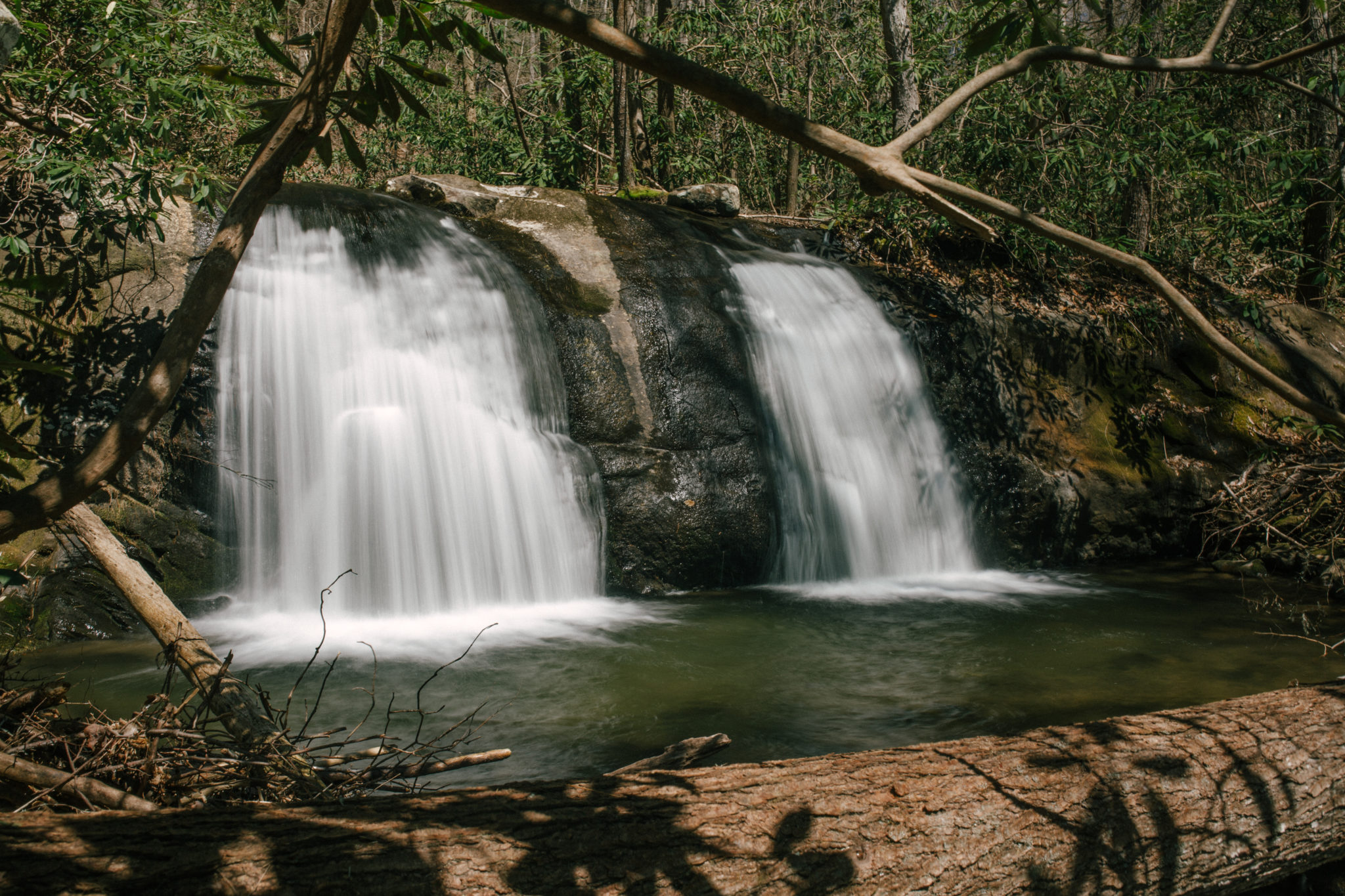
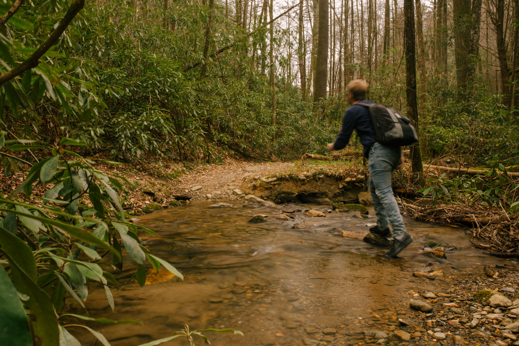
This green blazoned trail is the perfect summer day hike. There are multitudes of activities to enjoy on this trail, from having a picnic to swimming or even fishing. Wintertime, though, may present more challenges, with the amount of stream crossings or ice. If you like waterfalls, this is a quick way to get your […]
Rating: Easy Distance: 16.8

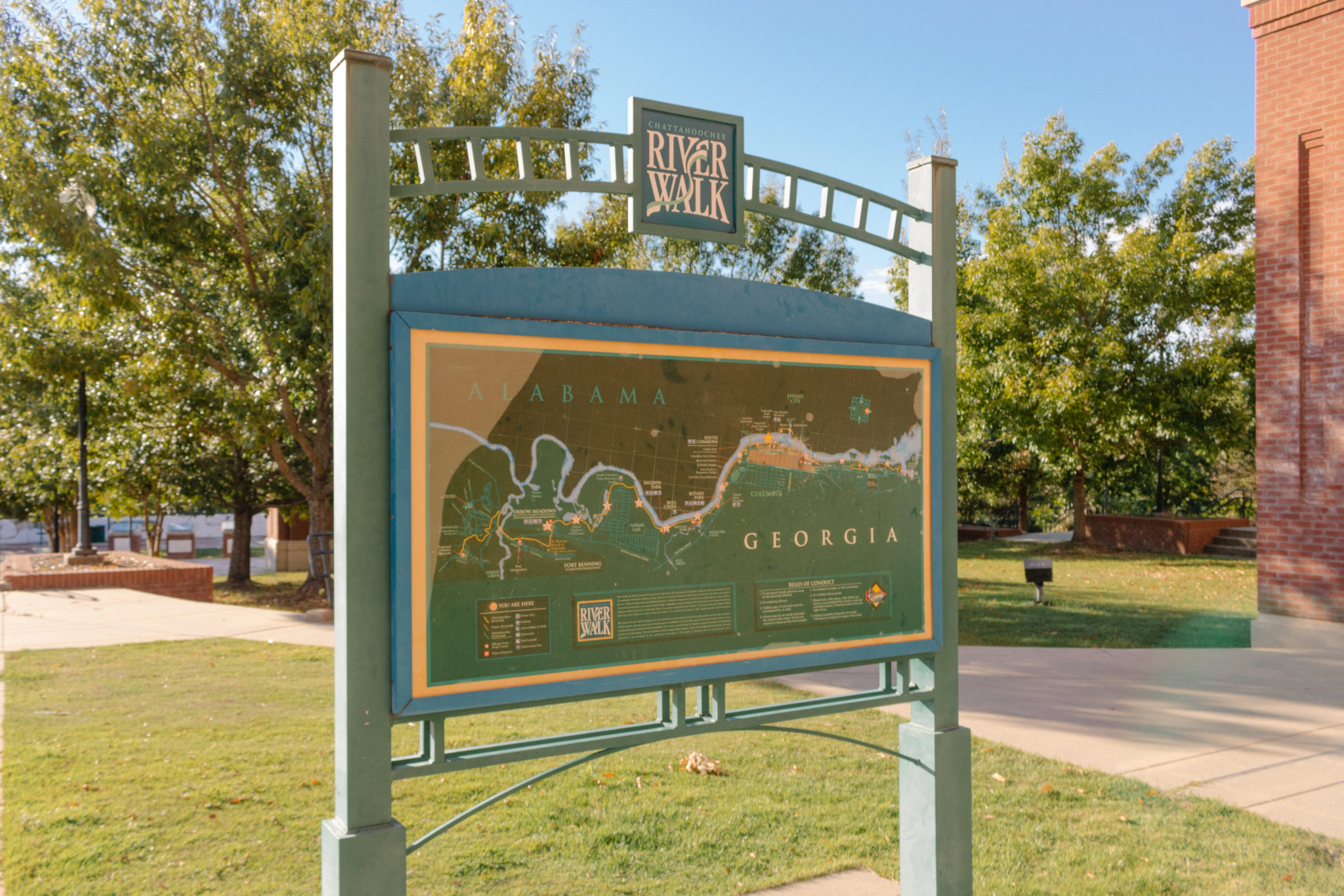
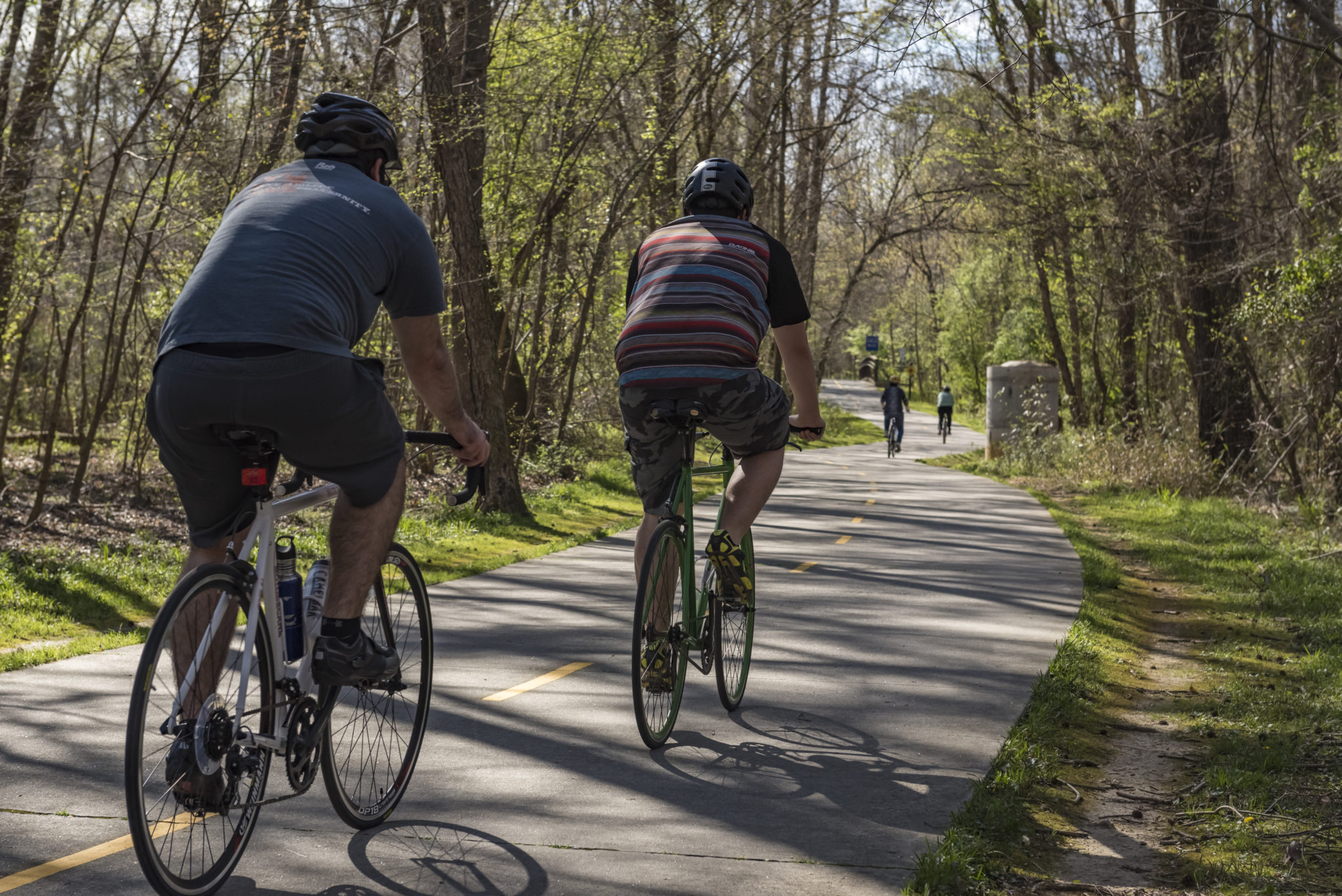
The Chattahoochee RiverWalk in Columbus skirts the banks of the Chattahoochee River, which follows the border between Georgia and Alabama. The meandering and hilly paved pathway runs 22 linear miles, linking the quaint cotton mill village of Bibb City north of Uptown Columbus with Fort Benning to the south. Developed as part of the Uptown […]
Rating: moderate Distance: 2.9

The trailhead is accessible from Ellijay by taking the Chatsworth, GA Highway 52/2 northwest out of Ellijay. Take a right on Gates Chapel Road, then turn right onto Forest Service (FS) Road 241. Coming from Dalton, Chatsworth and other points west, take GA Highway 52/2 East to Sam Hill Road/Highway 64, turning left. Follow Sam […]
Rating: Easy Distance: 8 mi
Alpharetta,Atlanta,Chattahoochee Hills,College Park,East Point,Fairburn,Hapeville,Johns Creek,Milton,Mountain Park,Palmetto,Roswell,Sandy Springs,Union City

Alpharetta

The Alpharetta Big Creek Greenway is an 8.3-mile linear trail that runs along Big Creek through the City of Alpharetta, GA. Beyond the city limits, the trail reaches the cities of Roswell to the south and will eventually connect with existing sections in Forsyth County. In Alpharetta, the trail runs from Mansell Road/Big Creek Park […]
Rating: Moderate Distance: 4.3

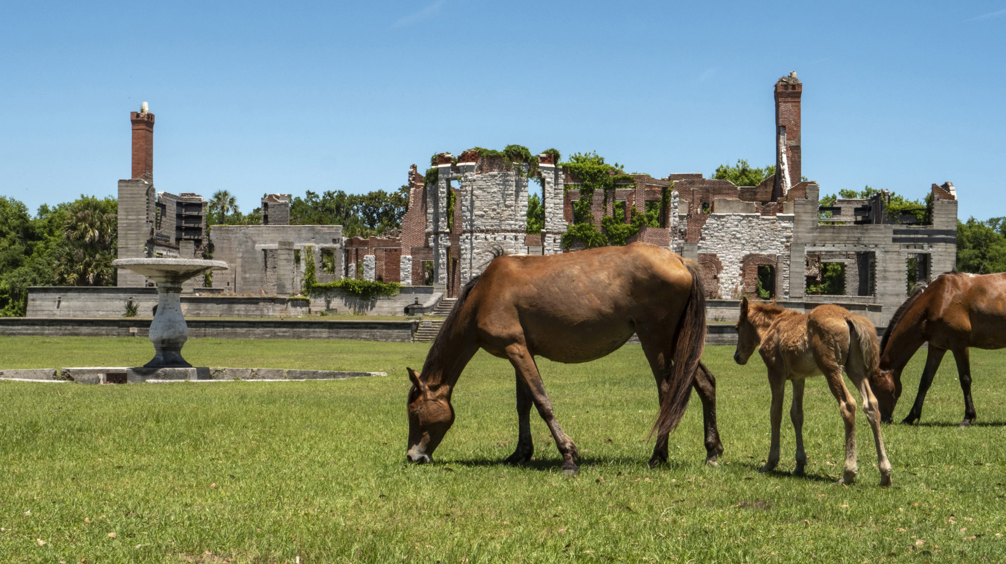
With miles of wide, pristine beaches, excellent camping, dense maritime forests, historic mansions, and breathtaking ruins, Cumberland Island National Seashore is as enchanting as it gets. One trip to Georgia’s southernmost barrier island is all it takes to discover there’s no coastal escape quite like it. The trek to Cumberland Island, which is only accessible […]
Rating: easy Distance: 2.0

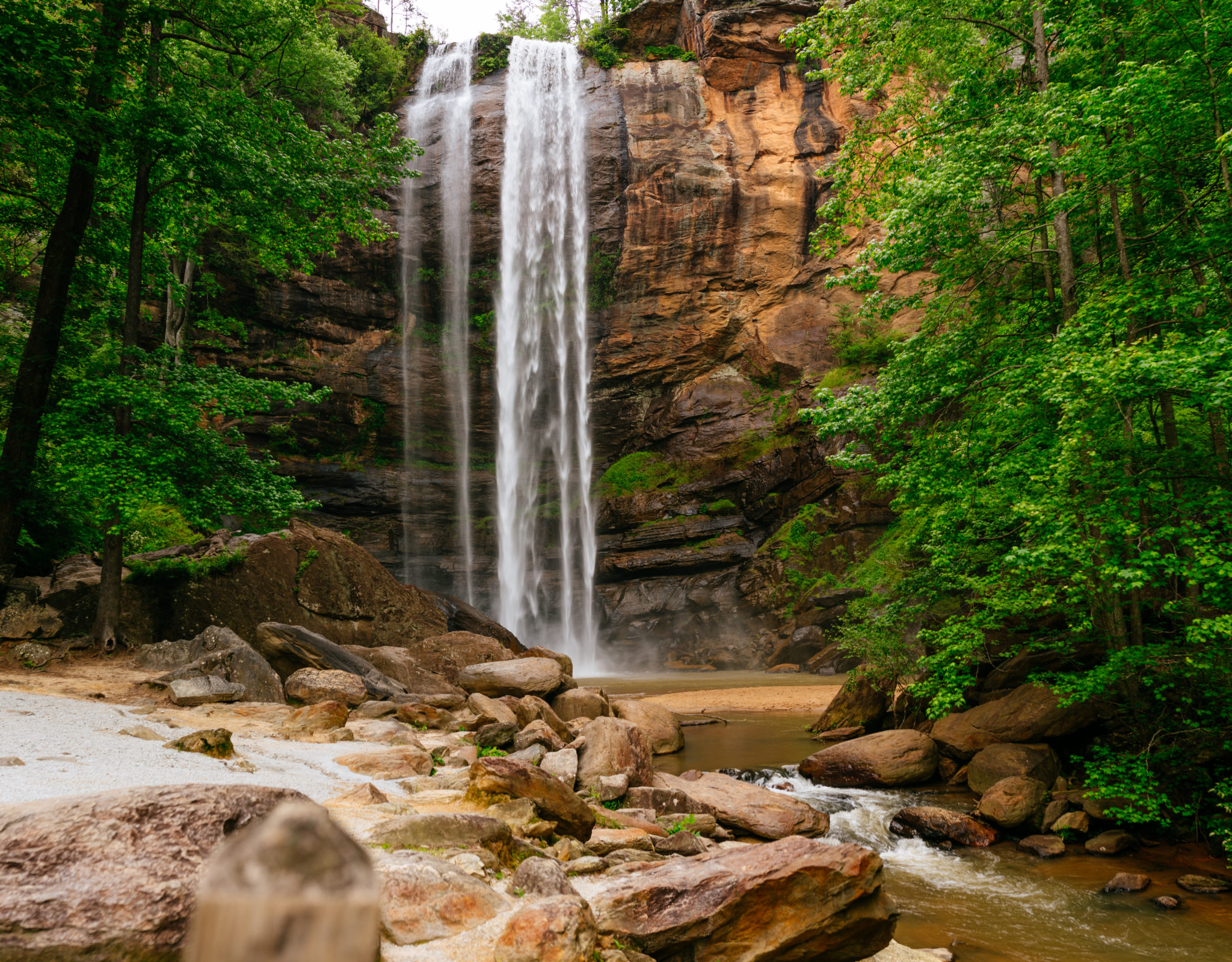
The wonders of the natural world are seemingly around every turn when you travel through the Northeast Georgia Mountains. The sights and sound of Toccoa Falls are no exception. As one of the shortest waterfall hikes in Georgia, the payoff for this 0.2-mile hike is more than worth it. To get to the falls, head […]
3- Mile Hiking Trail

Elijah Clark State Park
Classic South

Distance: 3 mi easy

icon-hiking

> Learn More
Access Trail – Charleston Park

Charleston Park
NE GA Mountains

Distance: 0.25 mi easy

icon-bicyclingicon-hiking

> Learn More
ADA Interpretive Trail

Sandy Creek Nature Center
Historic Heartland

Distance: 0.2 mi easy

icon-hiking

> Learn More
Ada-hi Falls Trail

Black Rock Mountain State Park
NE GA Mountains

Distance: 0.25 mi easy

icon-hiking

> Learn More
Altamaha River Canoe Trail


Georgia Coast

Distance: 138 mi easy

icon-paddlingfloating

> Learn More
Appalachian Approach Trail

Appalachian Trail
NW GA Mountains

Distance: 15.5 mi easy

icon-hiking

> Learn More
Appalachian Trail, Jarrard Trail, and Slaughter Creek Trail Loop


NE GA Mountains

Distance: 5.6 mi easy

icon-hiking

> Learn More
Arabia Mountain Trail (PATH)

Arabia Mountain National Heritage Area
Atlanta Metro

Distance: 20 mi easy

icon-hiking

> Learn More

Featured Attractions