Try these great FREE outdoor resources: 800+ Georgia Trail Maps or try the Discover Georgia Trails App

DO IT: Hiking

  • City

  • Region

Georgia Hiking Trails

Rating: Beginner Distance: 2.70 mi
clermont,Flowery Branch,Gainesville,Lula,Oakwood

Gainesville

Part of the Central Hall Trail, from Palmour Drive to Balus Creek in the area of Lanier Technical College and University of North Georgia’s Gainesville Campus, this section also includes a tunnel underneath Atlanta Highway near the Georgia Department of Labor.
Rating: easy Distance: 1.8 mi
Clermont,Flowery Branch,Gainesville,Lula,Oakwood

Gainesville

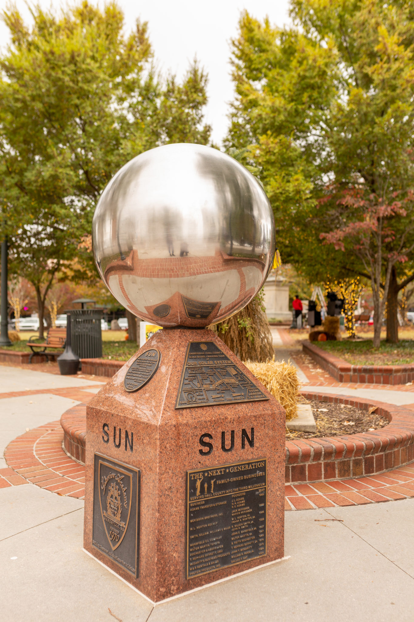
Spanning nearly two miles, you can visit a version of the entire solar system and even a few stars on the Gainesville Solar System Walking Tour. Each planet is represented with its own monument designed by artist Elizabeth Indianos and a bronze plaque designed by Tim Malles. The plaques display information about the planets such […]
Rating: easy Distance: 0.25

Around the Earthlodge and to the right, is the Corn Field Mound Trail. The trail is grass and only a quarter mile. First you will pass the Corn Field Mound on you right, which is believed to have once been the site of a ceremonial corn field that was later covered with a mound. Before […]
Rating: easy Distance: 0.25

Stay on the Main Path following the Hitchiti Village Site Trail to the Trading Post Site to find the Funeral Mound Trail. At a quarter mile, follow the trail through a wooded area and arrive at the Funeral Mound. It once stood 50 feet tall and served as an elite burial ground for Mississippian society […]
Rating: easy Distance: 0.25

Believed to have been home to Early Creek Indians in the late 1600s, you may encounter wildlife in this section of the park, including a variety of bird species, squirrels, snakes, lizards, turtles, and deer. Past the Earthlodge, the Village Site is on the left side of the trail before you reach the bend to […]
Rating: easy Distance: 0.5

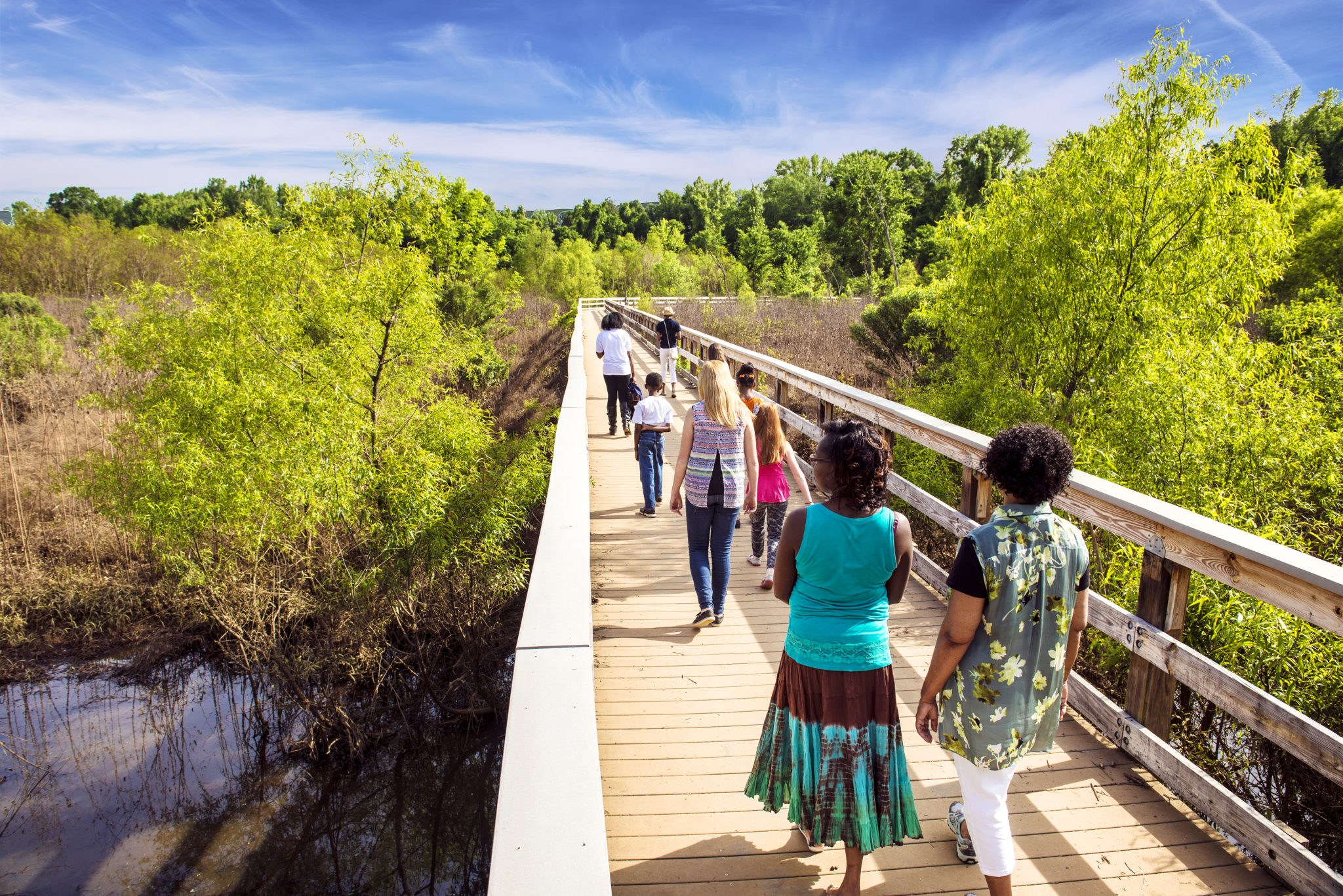
To walk along the Ocmulgee River, follow the Main Path, passing the Trading Post Site on your right and cross a spot where the trail intersects with the road within the park. Or simply park in the parking lot near this intersection. A section of the trail is a boardwalk over the Walnut Creek wetlands. […]
Rating: easy Distance: 0.25

Hike past the Trading Post Site to visit the Southeast Mound, which archaeologists have hypothesized was damaged due to plowing and erosion. To get to the park road, you can take a short hike through the woods from this mound.
Rating: easy Distance: 0.75

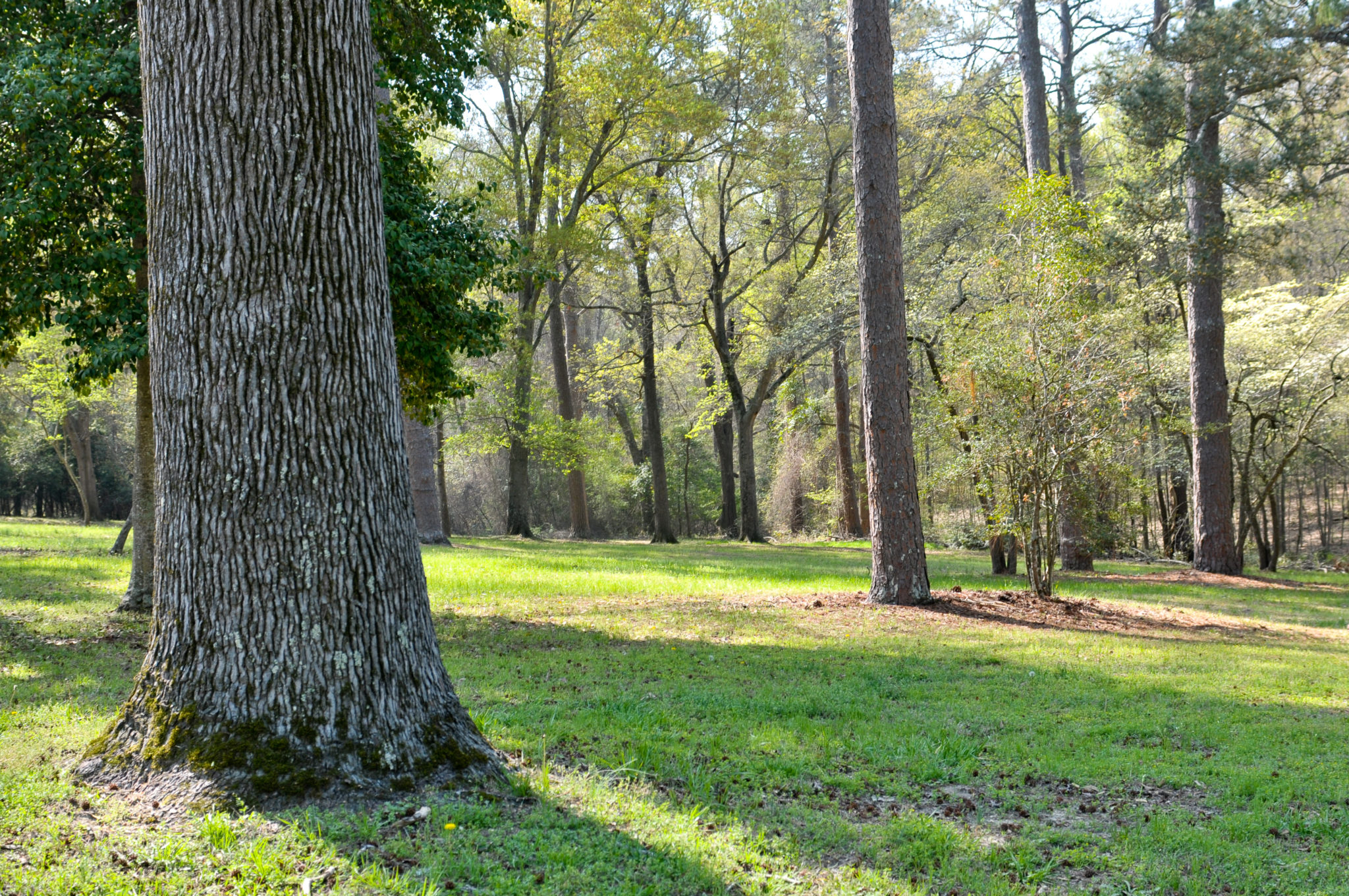
East of the Visitor Center is a winding trail that runs through the woods along a railroad bridge that was built in 1874 and is on the National Historic Register. The trail is name for William Bartram, a well-known naturalist who frequented the area around 1775.
Rating: easy Distance: 1.0

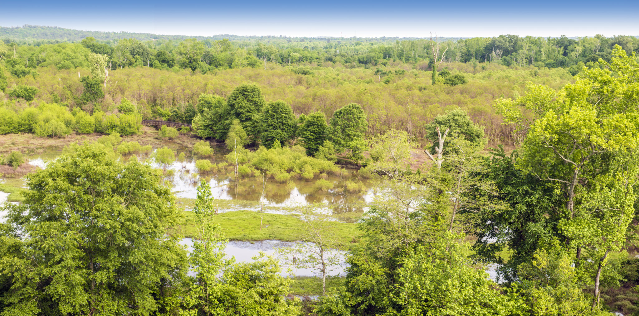
Looking to bird watch? Head southeast from the Trading Post toward the Opelofa Loop, which is known for sightings of egrets, osprey, herrings, and anhinga. Opelofa is Creek for “like a swamp.” Part of the Loop runs over the Walnut Creek wetlands and another portion borders Walnut Creek.
Rating: easy Distance: 1.75

Beginning at the Visitor Center, this trail is a bike trail. It goes to the Clinton Street foot gate – open 9 am to 5pm daily. The trail goes along the Ocmulgee River and this portion is wheelchair accessible. Cyclists may encounter wildlife such as dear, woodpeckers, and lizards.
Rating: easy Distance: 0.5

To reach this trail, head northwest from the Visitor Center. It can be a nice start to your hike if you have time to spend because it does connect to the Main Path. The trail leads to a mound known as McDougal Mound, which was named for Captain Robert McDougal. Legend has it that McDougal […]
Rating: easy Distance: 2.4

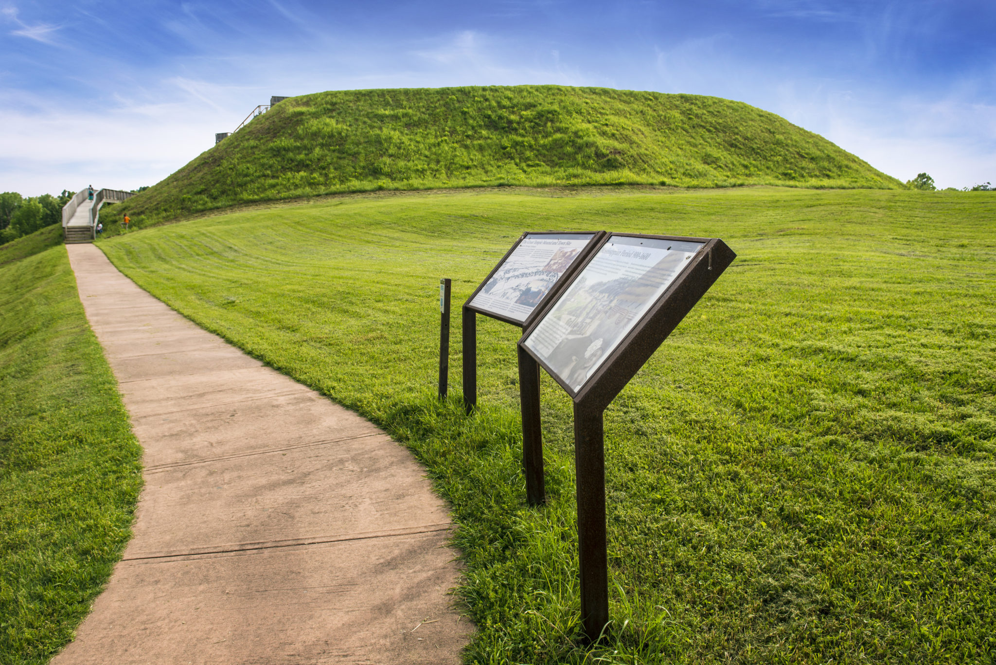
To visit the Earthlodge, the Trading Post site, and the Great and Lesser Temple Mounds – some of the most popular points of interest – take the Main Path, which starts at the Visitor Center. Visible from the Visitor Center is the Earthlodge. Visitors can go inside the lodge and view the original lodge floor […]
Rating: easy Distance: 2.2

Some say Sprewell Bluff Park is one of Georgia hiking’s best kept secrets. The park is best known for its natural surroundings and proximity to the Flint River. There is an entry fee of $5 per car to access the park, which also has a campground and recreational amenities. The 1,300-acre park is situated along […]
Rating: Easy Distance: 3 mi
Clayton,Dillard,Mountain City,Sky Valley

Tallulah Gorge State Park

This trail can be accessed from Terrora Circle Road, is paved and can be used for hiking, biking, skating, etc. It follows part of an old railroad bed.

Featured Attractions