- Outdoors Store
- Blog
- About Us
- Contact Us
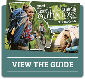
- DGO Guide
- Activity Menu
- Air Sports
- Adventure
- Bicycling
- Birding & Wildlife
- Boating
- Camping
- Equestrian
- Fishing
- Geocaching
- Golf
- Hiking
- Hunting
- Paddling & Floating
- Running
- Swimming
- Atlanta Metro
- East Georgia
- Coastal Georgia
- Middle Georgia
- Northwest Georgia Mountains
- South Georgia
- NE Georgia Mountains
- Scenic Southwest Georgia
- West Georgia
- Overnight It
- See It
- OUTDOOR STORE
- BLOG
- ABOUT US
- CONTACT US
-

-
- Adventure
- Bicycling
- Camping
- Coastal-Georgia
- Equestrian
- Floating
- Geocaching
- Golf
- Hiking
- Hunting
- Metro
- Running
- South
- Trace
- Air Sports
- Birding
- Boating
- Midlands
- Norteast
- Swimming
- Heartland
- Predential
- Overnight It
- Georgia Birds
- Georgia Trailblazers
- Georgia Map
- Mobile App
- Outdoor Fishing
- Individual Listing
- Hiking Lisitings
- Services
- Augusta
- High Country
- Rock City
- Georgia Birds