Try these great FREE outdoor resources: 800+ Georgia Trail Maps or try the Discover Georgia Trails App

DO IT: Hiking

  • City

  • Region

Georgia Hiking Trails

Rating: moderate Distance: 10 mi
Clayton,Dillard,Mountain City,Sky Valley

Tallulah Gorge State Park

This moderate to difficult trail is a 10-mile round trip. On the trail there is a section that is an old roadbed that can be rutty in spots. A permit must be obtained to utilize this trail, which is open to hikers and mountain bikers. During hunting season, it is recommended hikers and bikers wear […]
Rating: very Distance: 0.5 mi
Clayton,Dillard,Mountain City,Sky Valley

Tallulah Gorge State Park

The Sliding Rock Trail visits deep, remote sections of the gorge floor that few get to see. It?s a difficult hike that requires a permit, limited to 100 per day. On the south rim, the hike scrambles down the steep, boulder-filled Sliding Rock Trail to the gorge floor, catching an up-close view of the Bridal […]
Rating: moderate Distance: 2

Tallulah Gorge State Park

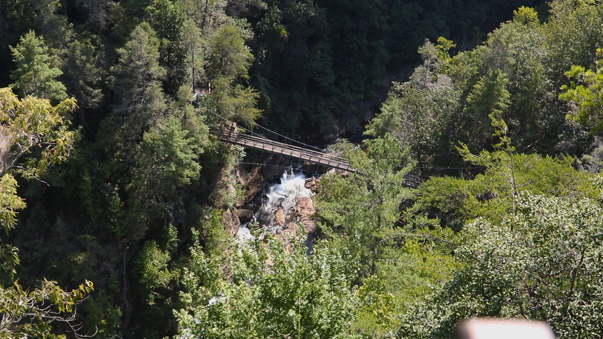
One of the most common routes at Tallulah Gorge State Park, this recommended trail includes portions of the North Rim Trail, Hurricane Falls Trail, and South Rim Trail. The pathway, commonly referred to as the Tallulah Gorge Loop, provides excellent views from 10 overlooks along the edge of the canyon, as well as in-gorge views […]
Rating: moderate Distance: 3 mi
Clayton,Dillard,Mountain City,Sky Valley

Tallulah Gorge State Park

The North and South Rim Trails consist of 3 miles round-trip which will take approximately 2 hours to hike. It is a mulched trail with exposed roots that is a leisurely walk. From the Interpretive Center there is a recycled rubber tire trail that accesses Overlooks 2 and 3.
Rating: Difficult Distance: 2 mi
Clayton,Dillard,Mountain City,Sky Valley

Tallulah Gorge State Park

This trail has a total of 1,099 stairs (including staircase to gorge floor). Please do not attempt this trail if you have any known health condition. Please do not leave children unattended. No pets allowed on this trail.
Rating: Easy Distance: 0.2 mi
Blairsville,Helen,Cleveland

Vogel State Park

There are many abrupt changes in grade along this short walk. Please stay on the trail and observation deck.
Rating: easy Distance: 0.8 mi
Blairsville

Vogel State Park

Vogel State Park Trails Vogel State Park is 11 miles south of Blairsville, Georgia on US 129. The park is one of the oldest and most scenic state parks in Georgia. Guests can hike 17 miles of trails, as well as camping, picnicking, mini-golf, biking, kayaking, swimming, paddle boarding, and other activities. All of the […]
Rating: moderate Distance: 4.1 mi
Blairsville

Vogel State Park

Vogel State Park Trails Vogel State Park is 11 miles south of Blairsville, Georgia on US 129. The park is one of the oldest and most scenic state parks in Georgia. Guests can hike 17 miles of trails, as well as camping, picnicking, mini-golf, biking, kayaking, swimming, paddle boarding, and other activities. All of the […]
Rating: easy Distance: 0.7 mi
Augusta,Blythe,Hephzibah

Augusta Canal

The River Shoals Nature Trail is a loop that runs between the Towpath Trail and the Savannah River.
Rating: easy Distance: 8.5 mi
Augusta,Blythe,Hephzibah

Augusta Canal

Paddle some or all of the 7 miles of the canal’s first level, beginning at the headgates at Savannah Rapids Park on the canal’s gentle current, with some swifter areas near mill intakes and other manmade structures. The final take-out is downtown at Old Turning Basin/13th Street.
Rating: easy Distance: 1.2 mi
Auburn,Bethlehem,Carl,Statham,Winder

Fort Yargo State Park

This access point to Fort Yargo hiking and biking trails begins at the Barrow County Recreation Department on Second Street in Winder. Visitors can access the trail which will lead to a grocery store, shopping center and many restaurants nearby.
Rating: moderate Distance: 12 mi
Auburn,Bethlehem,Carl,Statham,Winder

Fort Yargo State Park

This popular mountain bike loop travels 12 miles around the park’s perimeter and is best suited for experienced riders. Hikers are discouraged on this trail due to the speed of some bikers. The mostly single-track trail features intermediate climbs and downhills, with views of the lake, wetlands, creeks, a powerline clearing, and wooded ridges. Portions […]
Rating: easy Distance: 0.5 mi
Auburn,Bethlehem,Carl,Statham,Winder

Fort Yargo State Park

This short, paved trail features a birding area, nature signs and gazebo. Constructed as an accessible nature trail, it is suitable for wheelchairs and strollers. A teardrop loop at the end showcases plants maintained by the Tri-County Master Gardeners, as well as a gazebo built by the local Garden Club. A birding platform near the […]

Featured Attractions