Try these great FREE outdoor resources: 800+ Georgia Trail Maps or try the Discover Georgia Trails App

DO IT: Hiking

  • City

  • Region

Georgia Hiking Trails

Rating: Easy Distance: 2.3

Line Creek Nature Area is a 70-acre public preserve along Line Creek off GA Highway 54 on the Fayette County-Coweta County line. This popular nature area offers a mix of habitats – an upland hardwood forest, beautiful creekside granite outcroppings, and a rushing stream bordered by native azaleas. Visitors will enjoy a fishing dock on […]
Rating: moderate Distance: 2 mi
Trenton

Cloudland Canyon State Park

The trail passes through open woods, progressing down a moderate grade into a hollow, filled with spring and summer flowers.
Rating: easy Distance: 2
Warner Robins

Wellston Trail is a 2-mile, lightly trafficked, out and back trail that is accessible for wheelchairs and strollers. An easy walk or run for all skill levels, the paved trail is accessed from Fountain Park off Kimberly Road or the Wellston Trail parking area off Corder Road. There are several amenities along the trail and […]
Rating: easy Distance: 0.33 mi
Cleveland,Helen

Unicoi State Park

A short walk around Frog Pond is marked by interpretive signs and tree identification signs. Learn more about the wildlife that make Unicoi their home. Interested in a brief, informative stroll? This one is for you.
Rating: moderate Distance: 8 mi
Cleveland,Helen

Unicoi State Park

This exclusive mountain biking trail takes riders over mountainous terrain and ridges with scenic overlooks. Intended for experienced riders, this trail has been used for several national and regional mountain biking racing events. It is marked with a white blaze and is intended to be ridden counterclockwise. The trail loops into a “figure 8,” with […]
Rating: moderate Distance: 2 mi
Cleveland,Helen

Unicoi State Park

This trail offers a moderate hike through rhododendrons, mountain laurels, and hemlocks that passes by remains of an old homestead. In the spring, you will find a variety of wildflowers and blooms. The trail crosses several brooks as it winds through a hardwood forest, and then meets the rippling waters of Smith Creek as it […]
Rating: Distance:
Bloomingdale,Garden City,Pooler,Port Wentworth,Savannah,Thunderbolt,Tybee Island,Vernonburg

Skidaway Island State Park

Description coming soon!
Rating: easy Distance: 1 mi
Bloomingdale,Garden City,Pooler,Port Wentworth,Savannah,Thunderbolt,Tybee Island,Vernonburg

Skidaway Island State Park

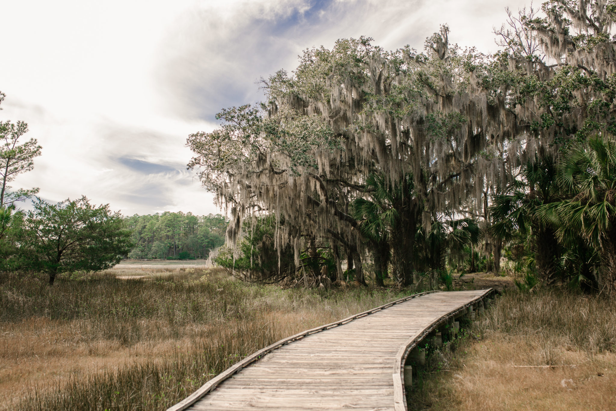
This 1-mile loop is arguably the park’s most popular trail, taking hikers over salt flats and tidal creeks, and through maritime forests on island hammocks. Plan on an hour of walking time. The boardwalks and level trail are ADA accessible. Bicycles are not allowed, but leashed pets are welcome if cleaned up after. Follow along […]
Rating: easy Distance: 1
Bloomingdale,Garden City,Pooler,Port Wentworth,Savannah,Thunderbolt,Tybee Island,Vernonburg

Skidaway Island State Park

This 1-mile trail cuts through the woods to connect the Big Ferry Loop Trail and the Avian Loop Trail. Using this trail, hikers can perform a complete navigation on the park’s main trails totaling nearly 6 miles. Hikers, take notice of “popcorn trees,” or Chinese Tallow, a highly invasive plant that has taken over this […]
Rating: easy Distance: 1 mi
Bloomingdale,Garden City,Pooler,Port Wentworth,Savannah,Thunderbolt,Tybee Island,Vernonburg

Skidaway Island State Park

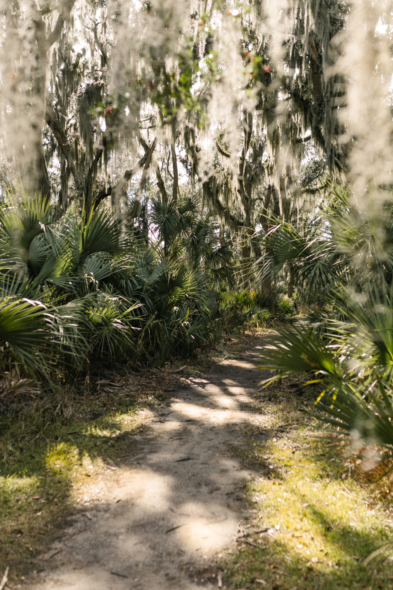
Cross a sandy causeway to glimpse the intracoastal waterway that runs along the US coast from Florida to Massachusetts. The Spanish-moss draped trees surround this habitat that is home to animals like dolphins and ospreys.
Rating: easy Distance: 3.1 mi
Pembroke,Richmond Hill

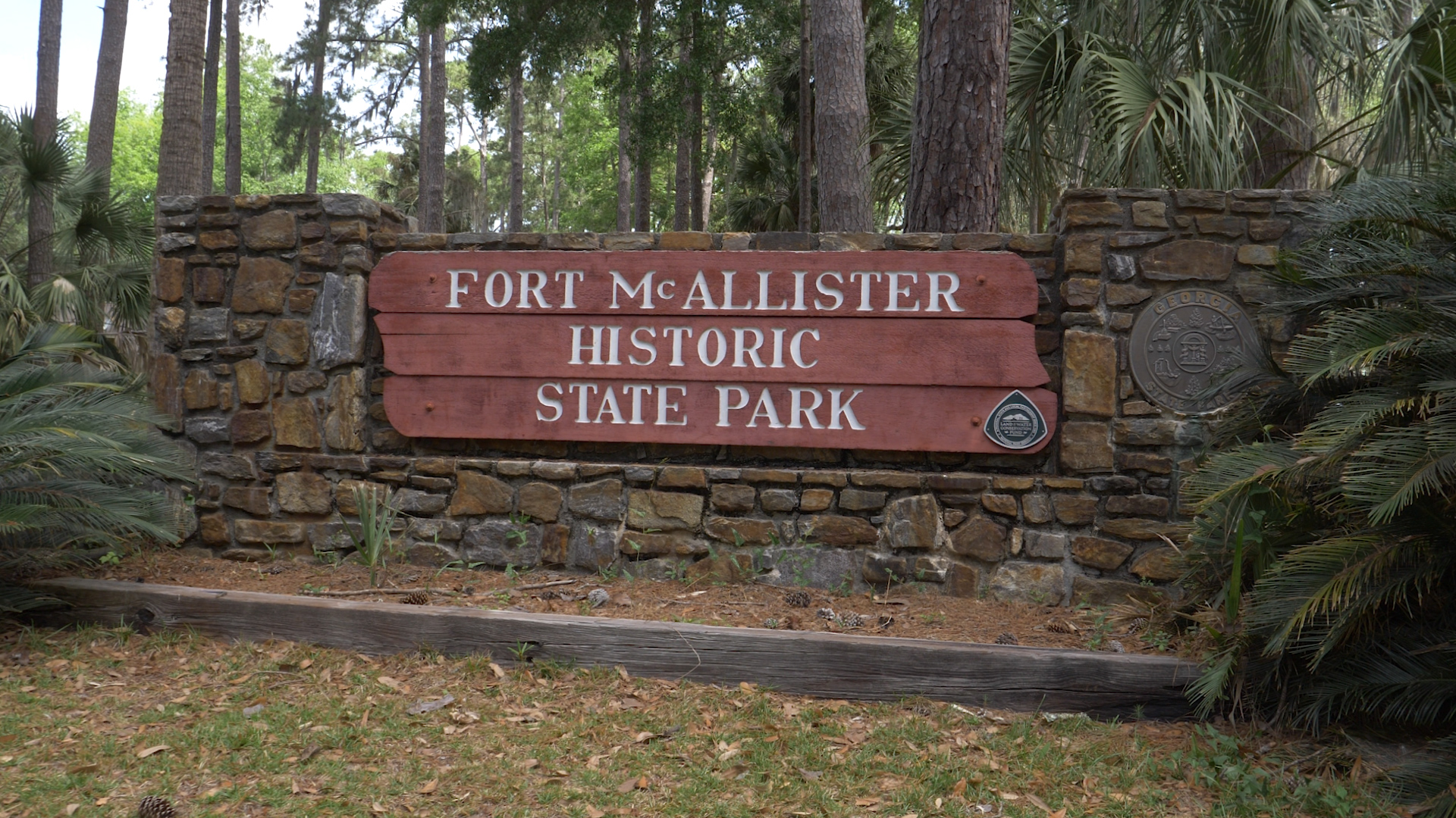
Fort McAllister State Park

Red Bird Creek Trail cuts through a maritime forest and presents the opportunity for an immersive, low-county adventure. That said, don’t forget your bug spray and be prepared to walk through varying degrees of marsh mud (depending on the level of recent rainfall). Also, help keep the trail from widening by sticking to the established […]
Rating: easy Distance: 1.3 mi
Pembroke,Richmond Hill

Fort McAllister State Park

Both ends of this maritime forest nature trail connect to the Fort McAllister State Park Campground loop. Magnolia Trail is only accessible to campers, but is accessible to hikers of every skill level. When staying at Fort McAllister State Park, this loop is a great – and short – way to take in the low-country. […]
Rating: easy Distance: 2.3 mi
Helena,Lumber City,McRae,Milan,Scotland,Alamo,Glenwood

Little Ocmulgee State Park

This loop trail provides a winding moderate walk through the sandhill and longleaf pine ecosystems. The trail also includes a boardwalk out onto the blackwater streams of the Little Ocmulgee River where tupelo and bay trees grow.
Rating: easy Distance: 1 mi
Helena,Lumber City,McRae,Milan,Scotland,Alamo,Glenwood

Little Ocmulgee State Park

Located at Group Shelter 1, this trail allows guests to take a peaceful boardwalk through the Southern piedmont forest to the lodge and restaurant.

Featured Attractions